












返回列表
森林动态监测中基于多传感器低空遥感图像配准的空间坐标校正
遥感应用
2026/09/21
摘要:树种多样性在我们的生态系统中起着重要的作用。为了监测森林动态,通常采用小型无人机(UAV)装备的高光谱遥 感技术,如单株树检测和分类。然而,由于低分辨率、定位误差和小型无人机的成像视角受风速/风向、复杂地形、电池 容量、飞机姿态、飞行高度等人为因素的影响,导致此类高光谱图像的定位误差(即 GPS 误差)相对较大,对森林动态的 精确监测受到限制,特别是在空间分析方面。为了降低小型无人机高光谱图像的定位误差,提供精确的森林动态监测, 提出了一种将低空无人机可见光与高光谱图像配准的空间坐标校正方法。该方法首先利用可见光图像和地面控制点拼接 一个地理坐标系作为我们的地面真值。然后通过一种新的图像配准方法将高光谱图像(UHI)配准到拼接后的可见光图像 (UVI)上。最后,利用上述底真值对配准的高光谱图像进行空间坐标更新。大量的图像配准和空间坐标校正实验证明了该 方法的良好性能。与现有的四种配准方法相比,该方法具有最佳的配准性能,显著降低了高光谱图像的定位误差。这种 准确性在本研究中被认为是非常高的。
关键词:森林动力学、小型无人机、多传感器图像配准、空间坐标校正、高光谱图像。
期刊:IEEE Access
DOI:10.1109/ACCESS.2020.2968335
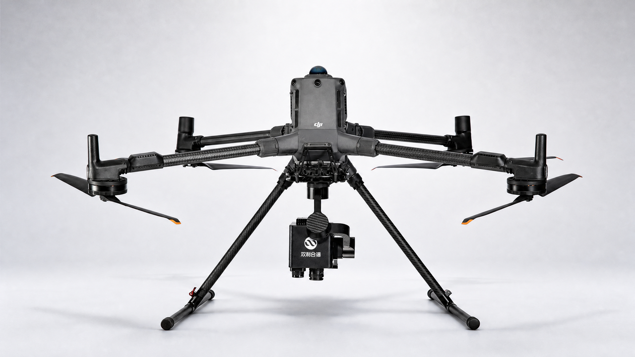
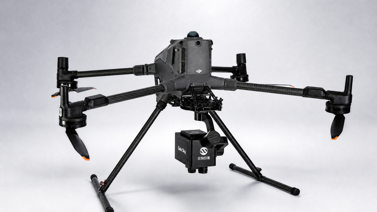
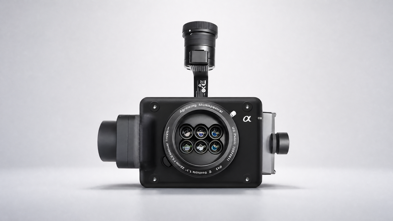
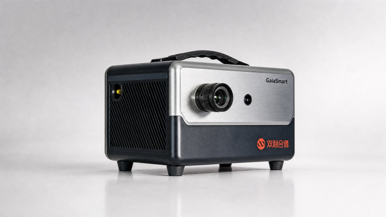
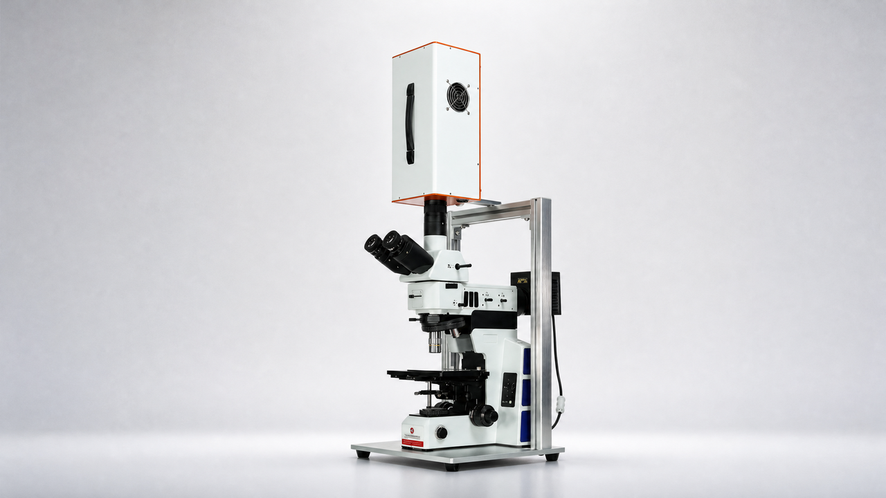
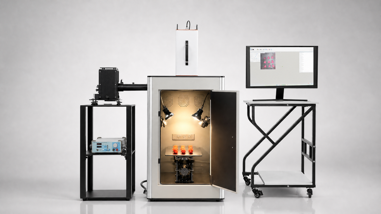
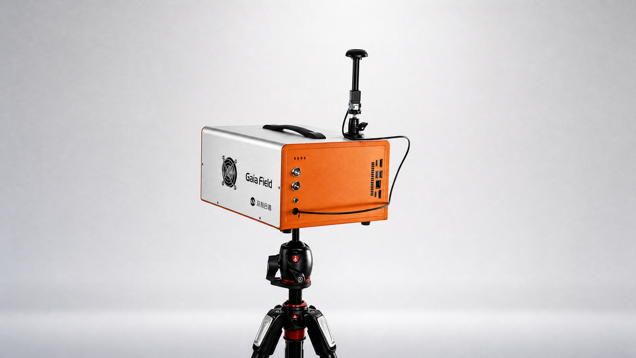
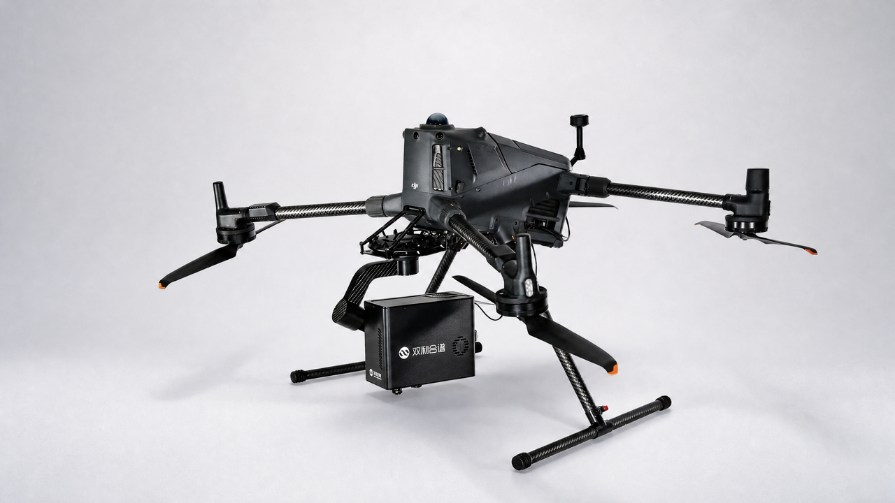
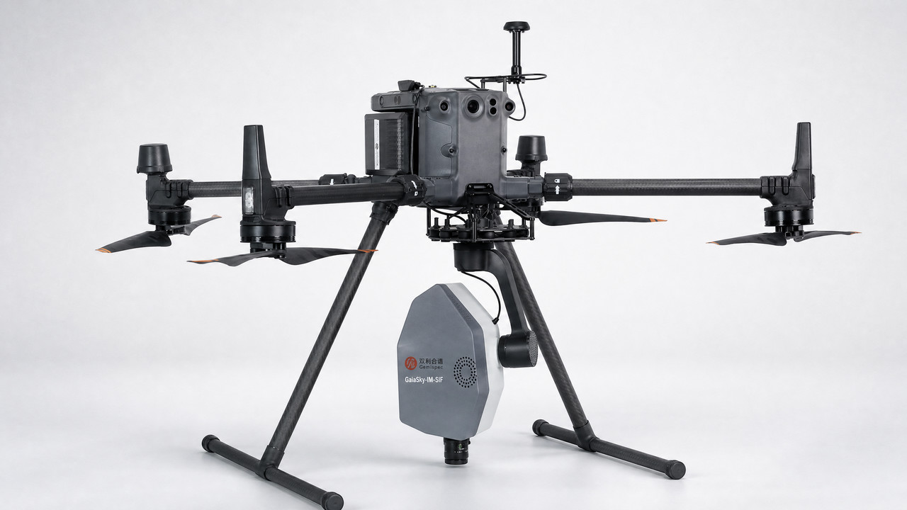
设备:GaiaSky
Spatial Coordinates Correction Based on Multi-Sensor Low-Altitude Remote Sensing Image Registration for Monitoring Forest Dynamics
Abstract:Tree species diversity plays a significant role in our ecosystem. In order to monitor forest dynamics, hyperspectral remote sensing equipped on a small unmanned aerial vehicle (UAV) is commonly applied, such as individual tree detection and classification. However, low resolution, positioning errors and the imaging perspective of small UAV affected by wind speed/direction, complex terrain, battery capacity, aircraft posture, flying height and other human factors result in relatively large positional errors (i.e., GPS errors) in such hyperspectral images, and the precise forest dynamics monitoring is limited, especially in spatial analysis. In order to reduce the positional errors of hyperspectral images captured from a small UAV and provide a precise forest dynamics monitoring, we present a novel spatial coordinates correction approach by registering low-altitude UAV visible light and hyperspectral images. The proposed method first employs visible light images and ground control points to stitch a geographic coordinate system as our groundtruth. Hyperspectral images (UHI) are then registered onto the stitched visible light image (UVI) via a novel image registration method. Finally, spatial coordinates of the registered hyperspectral images are updated by using the aforementioned groundtruth. Extensive experiments on image registration and spatial coordinates correction demonstrate the favorable performance of our method. Compared against four stateof-the-art registration methods, our method shows the best registration performance, and the positional errors of hyperspectral images are significantly reduced. Such accuracy is considered very high in this research.
Keywords:Forest dynamics, small unmanned aerial vehicle, multi-sensor image registration, spatial coordinates correction, hyperspectral images.