













返回列表
利用无人机高光谱、卫星多光谱和 SAR 数据监测植被密集农业区土壤砷含量
遥感应用
2026/09/21
摘要:准确有效地监测广大地区土壤中的潜在有毒元素(PTE)对于环境建模和公共健康至关重要。虽然遥感(RS)技 术提供了一个很有前途的方法,通过检测土壤光谱,在亚热带农业地区的密集和持久的植被覆盖阻碍了裸露的土壤信号 的获取,限制了土壤PTE监测。为了应对这一挑战,本研究提出了一种创新的方法来监测土壤砷(( As)的含量,使用植 被特征检索的遥感数据作为代理变量,土壤-植被相互作用。在中国南方的一个植被茂密的农田,在那里收集了104个表 层土壤样品的方法进行了评价。植被信息提取单独和协同使用时间序列哨兵-2多光谱和哨兵-1合成孔径雷达(SAR)图 像在整个生长季节,和无人驾驶航空器(UAV)高光谱图像在作物成熟。多种机器学习算法,包括随机森林、支持向量 回归、CatBoost、和堆栈应用于土壤砷和植被变量之间的关系建模。引入SHapley加性解释(( SHAP)技术,确定关键变 量和相应的阈值指示土壤As的显着积累。结果表明,时间序列卫星多光谱图像的预测精度优于其他单一的RS数据类型。 此外,光学图像和 SAR 图像的协同作用显着提高了模型准确性。 特别是,使用叠加算法的时间序列卫星多光谱和合成 孔径雷达数据的组合取得了最好的结果,决定系数(R2)为0.71和均方根误差(RMSE)为20.22毫克/千克。关键预测 变量包括8月7日和5月26日的红边植被指数((RENDVI 3)和10月26日的蓝带,其值分别低于0.018、0.013和0.052, 表明土壤中的砷积累。综上所述,提出的利用多遥感数据反演植被特征以推断植被密集地区土壤PTE的方法是方便、经 济、可靠的,为环境监测提供了新的见解和技术支持。
关键词:遥感;无人机高光谱;多光谱;SAR;土壤砷污染。
期刊:Journal of Hazardous Materials
DOI:https://doi.org/10.1016/j.jhazmat.2024.136689
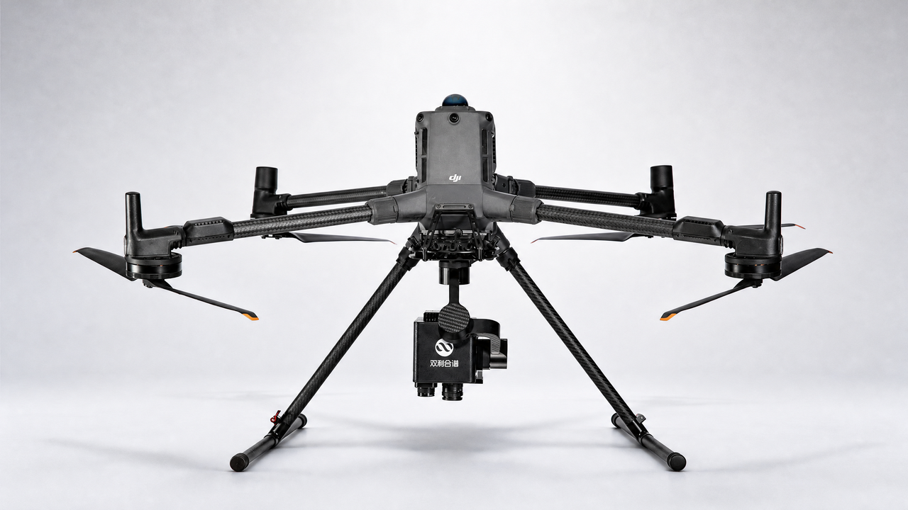
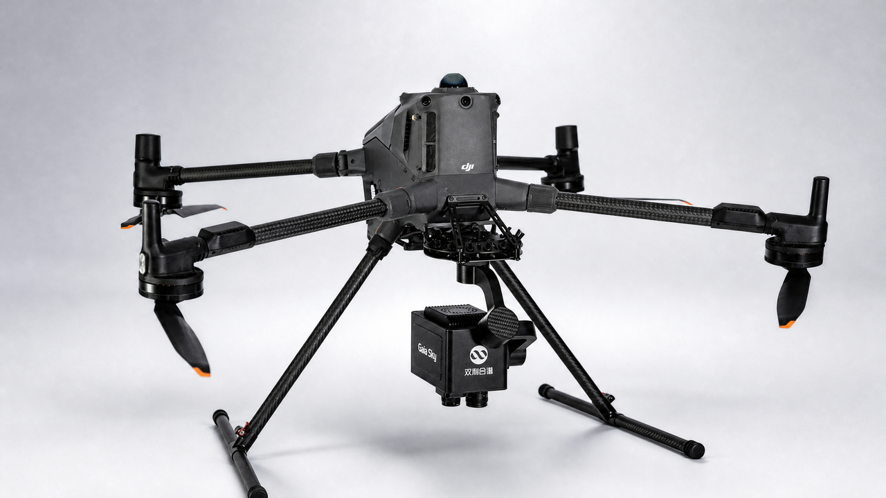
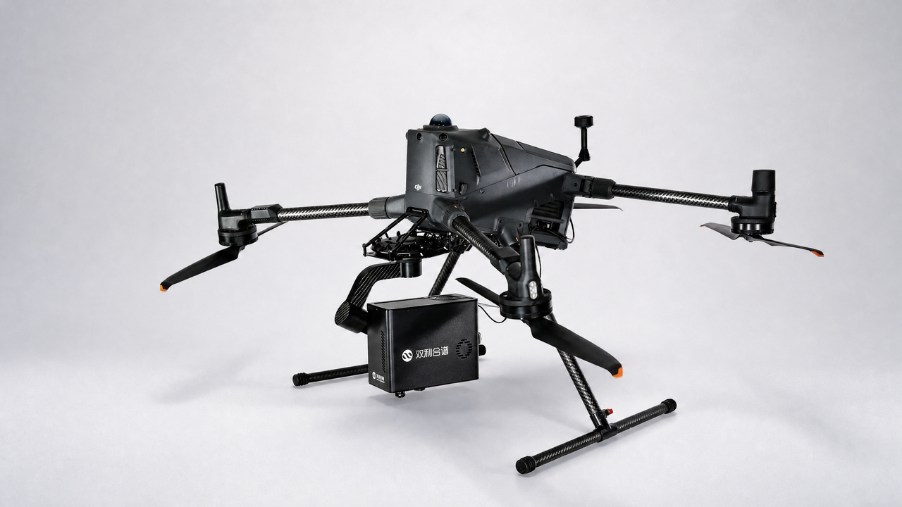
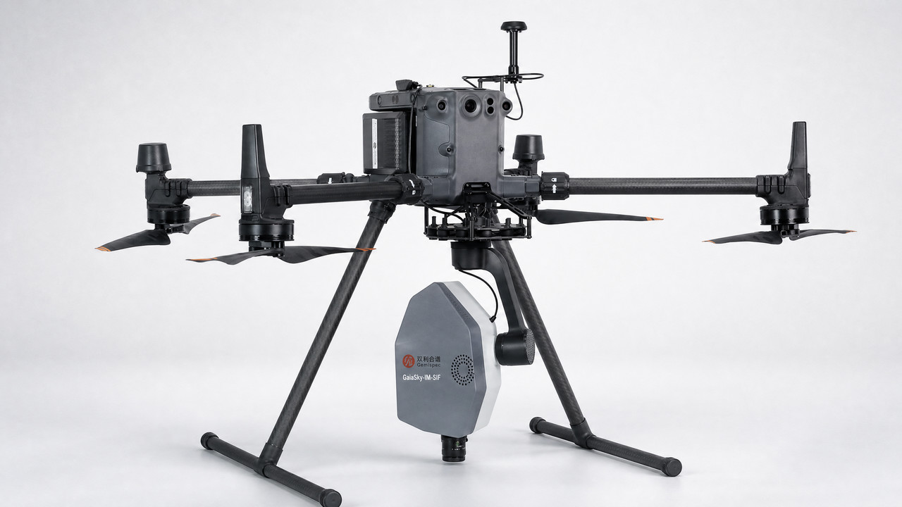
设备:GaiaSky
Monitoring soil arsenic content in densely vegetated agricultural areas using UAV hyperspectral, satellite multispectral and SAR data
Abstract:Weeds are undesired plants competing with crops for light, nutrients, and water, negatively impacting crop growth. Identifying weeds in wheat fields accurately is important for precise pesticide spraying and targeted weed control. Grass weeds in their early growth stages look very similar to wheat seedlings, making them difficult to identify. In this study, we focused on wheat fields with varying levels of grass weed infestation and used unmanned aerial vehicles (UAVs) to obtain images. By utilizing deep learning algorithms and spectral analysis technology, the weeds were identified and extracted accurately from wheat fields. Our results showed that the precision of weed detection in scattered wheat fields was 91.27% and 87.51% in drilled wheat fields. Compared to areas without weeds, the increase in weed density led to a decrease in wheat biomass, with the maximum biomass decreasing by 71%. The effect of weed density on yield was similar, with the maximum yield decreasing by 4320 kg·ha− 1, a drop of 60%. In this study, a method for monitoring weed occurrence in wheat fields was established, and the effects of weeds on wheat growth in different growth periods and weed densities were studied by accurately extracting weeds from wheat fields. The results can provide a reference for weed control and hazard assessment research.
Keywords:Remote sensing UAV Hyperspectral Multispectral SAR Soil arsenic pollution.