








返回列表
基于无人机平台的森林冠层热点和多视角高光谱图像获取与应用
遥感应用
2026/09/21
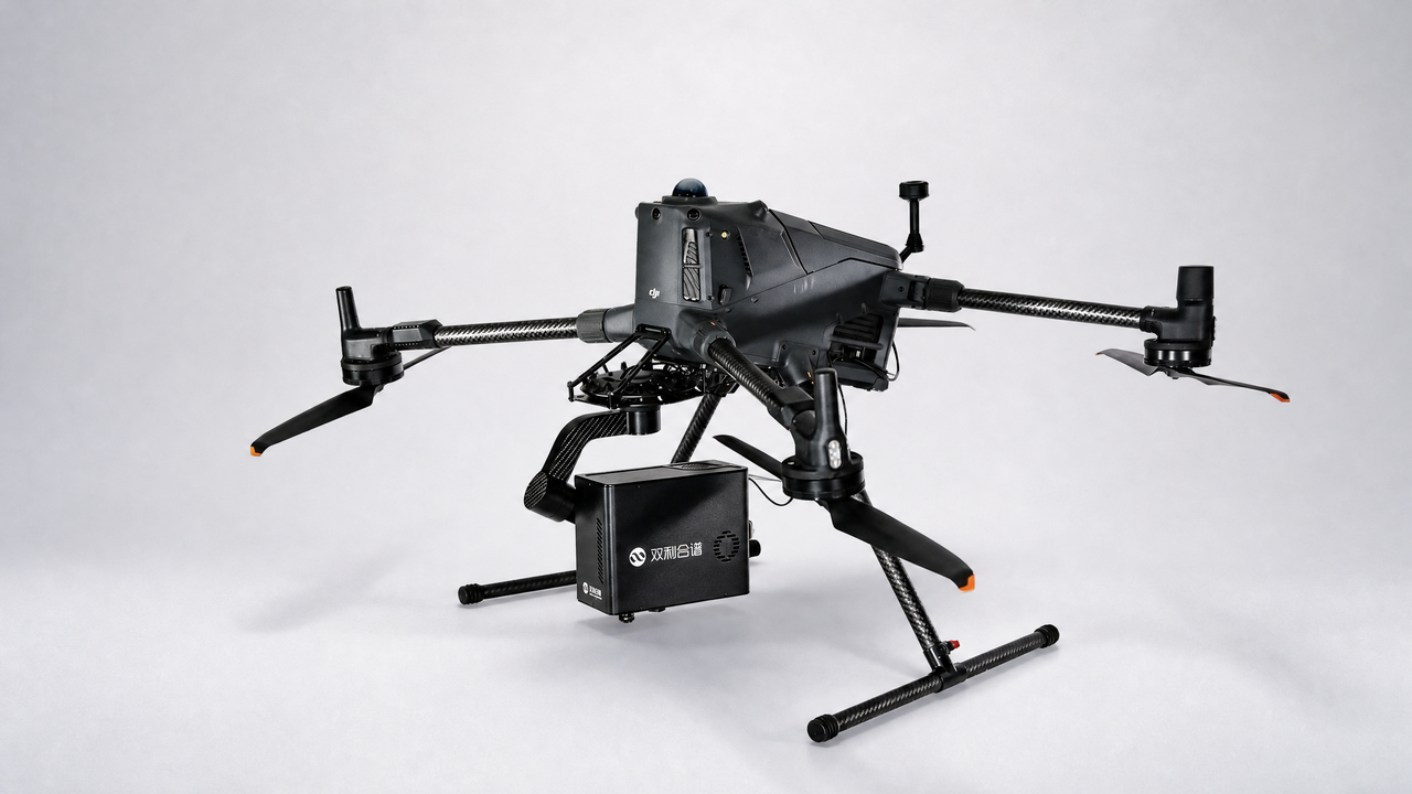
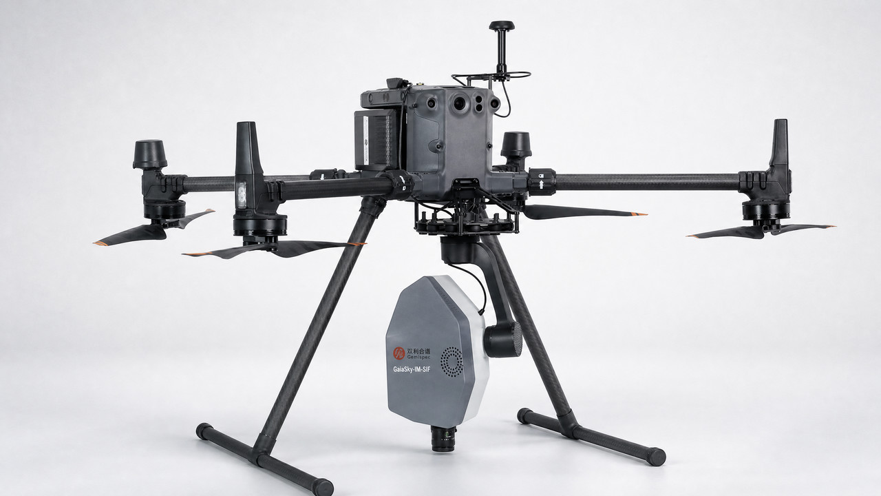
摘要:准确反演森林功能与结构参数对生态系统、全球变化和碳氮循环等科学研究具有重要意义。近年来,无人机高光 谱成像系统提供了一种经济高效的方法,可以从半球任意位置获取森林冠层高光谱图像。但与单角度高光谱图像相比, 多角度高光谱图像提供了更多关于森林功能与结构特征的信息。开发了一种利用无人机高光谱成像系统的半自动化多角 度观测方法,成功采集了阔叶林和针叶林冠层热点清晰的多角度高光谱影像。研究结果表明,森林冠层的热点对森林的 反射率、归一化植被指数(NDVI)和增强型植被指数(EVI)有很大影响,冠层反射率和 EVI 的最大值都在热点位置, 而NDVI的最小值也在热点位置。此外,阔叶林和针叶林的热点效应相似。虽然热点对光化学反射指数(( PRI)没有明显 影响,但不同的观测天顶角对 PRI 有很大影响。我们的研究结果为利用航空和卫星平台上的全自动多角度高光谱成像系 统反演森林结构参数提供了坚实的基础。
关键词:多角度、高光谱、无人机、植被指数、热点。
期刊:Journal of Applied Remote Sensing
DOI:10.1117/1.JRS.14.022212
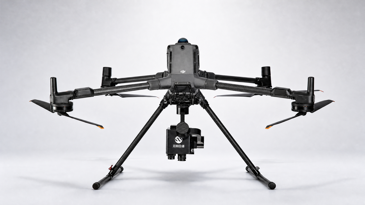
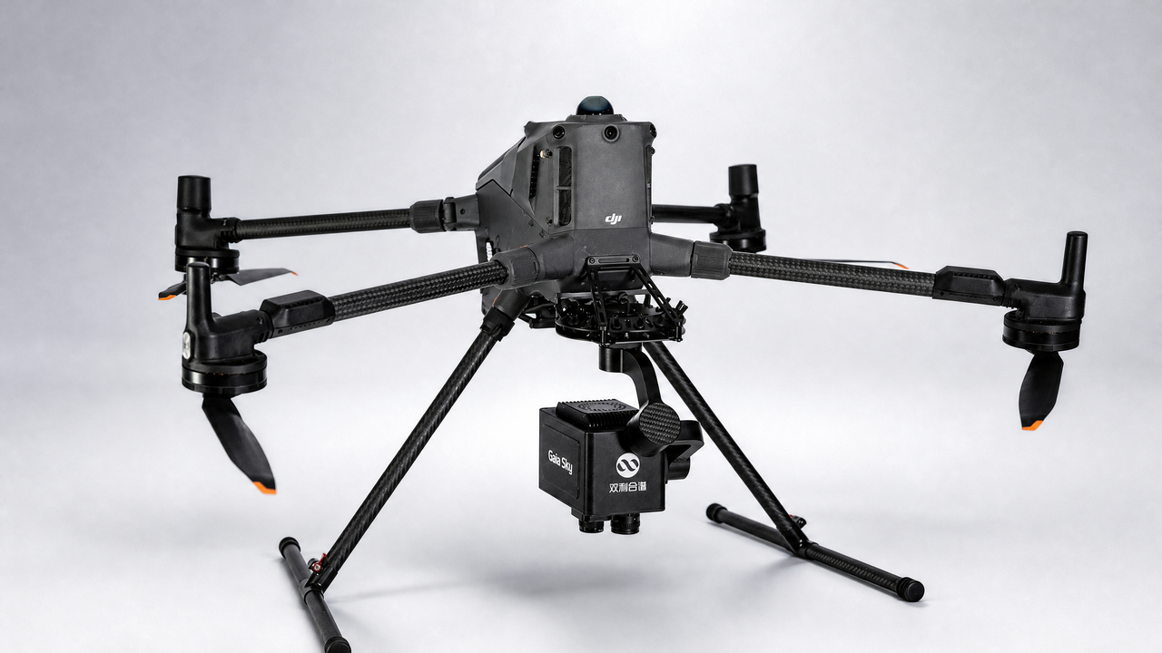
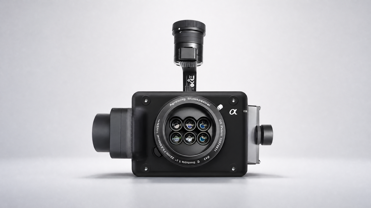
设备:GaiaSky
Acquisitions and applications offorest canopy hyperspectralimageries at hotspot and multiviewangle using unmanned aerial vehicleplatform
Abstract:The accurate retrieval of forest functional and structural parameters is of great significance in the scientific research of ecosystem, global change, and carbon and nitrogen cycles. Recently, an unmanned aerial vehicle (UAV) hyperspectral imaging system provides a cost-effective way to capture the hyperspectral imageries from any points of the hemisphere above a forest canopy. However, compared with single-angle hyperspectral images, the multiangle hyperspectral images provide more information about forest functional and structural characteristics. We developed a semiautomatic multiangle observation method using a UAV hyperspectral imaging system and successfully collected the multiangle hyperspectral imageries with clear hotspots of broadleaf and coniferous forest canopies. Our results indicated that the hotspot of a forest canopy had a great effect on the reflectance, normalized difference vegetation index (NDVI), and enhanced vegetation index (EVI) of forests. The maximum values of canopy reflectance and EVI were found at the hotspot position, while the minimum NDVI was at the hotspot. Moreover, the hotspot effect was similar in both broadleaf and coniferous forests. Although the hotspot had no obvious effects on the photochemical reflectance index (PRI), different view zenith angles had a great effect on PRI. Our findings provide a solid foundation for retrieving forest structural parameters using fully automatic multiangle hyperspectral imaging system at both aerial and satellite platforms.
Keywords:multiangle; hyperspectral; unmanned aerial vehicle; vegetation indices; hotspot.